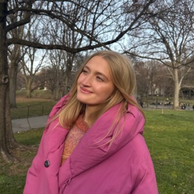
Sophia Meyers
Vegetation and land feature mapping in the Okavango Delta
This project is focused on creating an in-depth vegetation map of the Okavango delta. My role in this involves analyzing high-resolution LiDAR products in order to delineate land features within the delta. This is done through creating algorithms and other processes of identification that can be further applied to other regions. In collaboration with the US army corp of engineers and on site researchers, this summer I will focus on ground-truthing the algorithms that have been created to identify termite mounds, as well as seeing how they can be adjusted to identify Islands within the delta.
Message To Sponsor
I am greatly appreciative of the donors who have made this summer research position a possibility. I am deeply passionate about the work that my team has been doing and have learned more within this hands-on experience than I could have imagined was possible. URAP is a wonderful opportunity for undergraduates and has influenced me to want to pursue a graduate degree after leaving Berkeley.
Major: Geography
Mentor: Laurel Larsen, Geography
Sponsor: Chandra Research Fellows - Chandra Fund